Overview of Canal
History
Towpath
Locks
Lock Houses
Aqueducts
Great Falls
Recreation
Wildlife
Credits
Tour

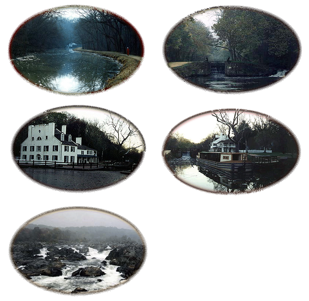
The Chesapeake and Ohio (C & O) Canal National Historical Park provides a variety of outside activities. At the park, you can find people walking, hiking, jogging, bicycling, canoeing, kayaking, birding, fishing, picnicking, or just feeding the ducks. During the spring and summer months, the Park Service offers leisurely rides in a mule-drawn canal boat. Horseback riding and camping is also available at designated areas along the canal. There is even a small museum for museum junkies who need to see static displays. But most of all, you may enjoy the simple pleasure of viewing nature.
The canal, skirting the Potomac River, spans 184½ miles from Washington to Cumberland, Maryland. It contains eleven stone aqueducts to carry the canal over tributaries to the Potomac River, and 74 lift locks to raise the waterway from sea level to 605 feet in the Allegheny Mountains. Except for two short stretches upriver, the towpath edges the canal on the river side. The canal operated for 73 years until 1924, when floods seriously damaged the waterway. The C & O Canal remained mostly in disuse until 1961 when it was designated a national monument. In 1971 the Federal Government declared it a national historical park.
The Park Service provides maps of the canal. I have included for your use and information the detailed map showing the canal in the Washington, D.C. area, and the map for the entire C & O Canal.
Here is a link to some Panorama photographs I have taken.